I’ve been thinking about having the Fife Coastal Path as one of my goals for this year – I did start walking it a few years ago, but didn’t get very far. One thing that attracted me to the start, though, was that it began at Kincardine where Admiral Lord Keith had lived and where his grave is, and then passed through Culross, where Lord Cochrane was born.
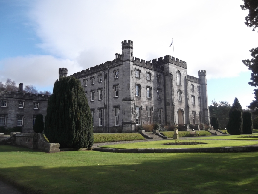
Tulliallan Castle
Tulliallan Castle, at the top end of Kincardine, is now the headquarters of the Scottish police, but it was built between 1812 and 1820 for Lord Keith, near the site of an earlier castle.
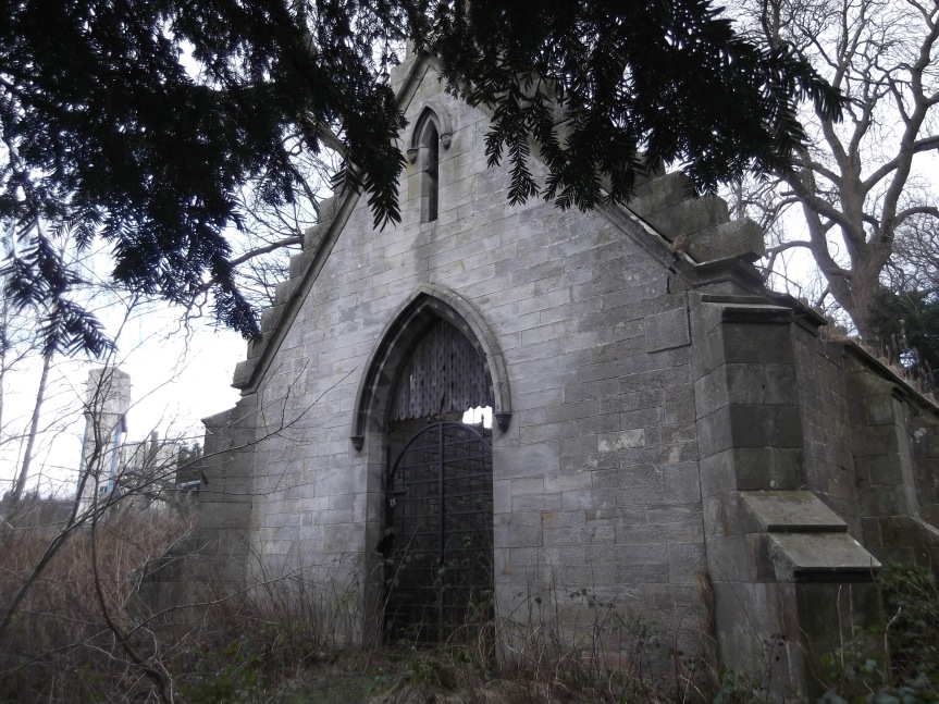
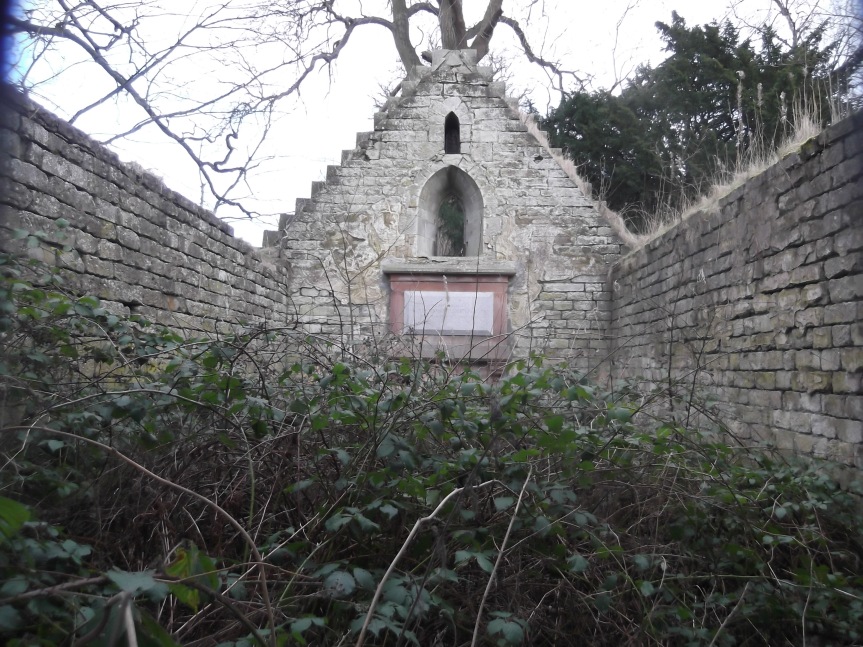
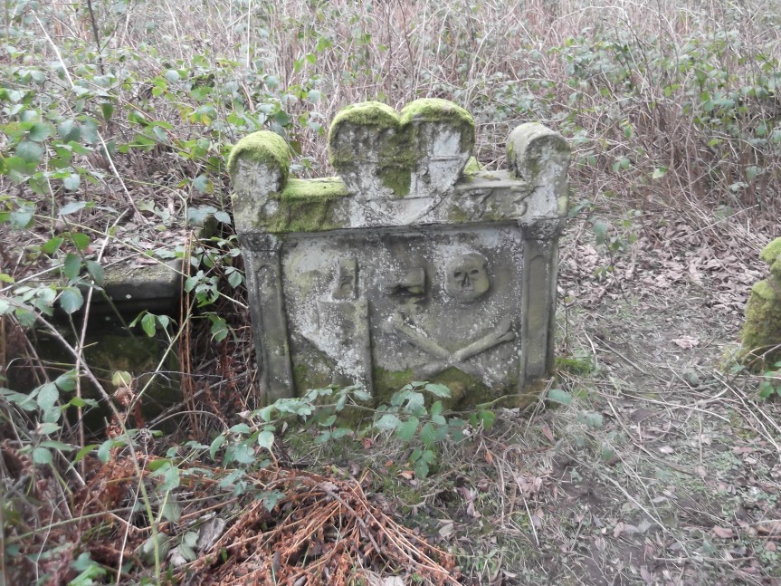
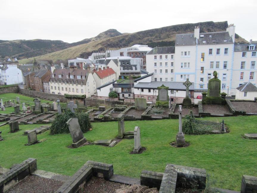
The family mausoleum is a couple of miles away, in the middle of nowhere in an old graveyard which once surrounded a chapel which even at that date had long been replaced by the parish church in the town.
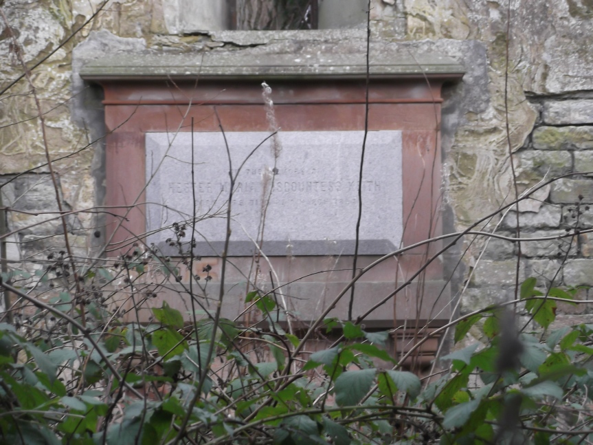
Sadly the mausoleum was badly damaged by fire, and Lady Keith’s tablet on the back wall is the only one still visible or legible.
Inside the MausoleumLady Keith’s memorial
It’s not the only interesting thing in the graveyard though – there are some very nice older gravestones around.
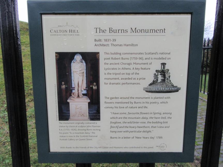
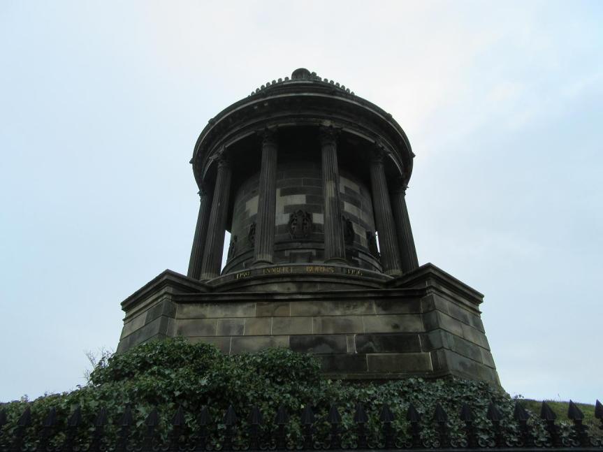
I seem to be on a bit of a monumental kick at the moment, so today I went to visit the Burns monument on Regent Road – it being his month.
This is Georgian shading towards Victorian – Burns himself is solid late 18th century, of course, but the monument was begun in 1831, which is into William IV – but it’s definitely neoclassical Georgian in style, as is the ‘old’ Royal High School across the road, begun in 1826 (the new Royal High is at Barnton, but the Royal High of the Georgian period was in High School Yards), and everything else around – this area was, I think, the third expansion of the Georgian New Town, in the 1820s.
Monument information
The original – and earlier – plan was to erect a statue to Burns, and the monument was only built when the statue had only used half the funds raised – which may be why there’s so little on the monument itself to say what it is, because the main inscription was on the plinth of the statue. However, although it was erected, the marble of the statue was damaged by smoke from a gasworks down below, and it was moved – it’s now in the National Portrait Gallery.
Monument inscription
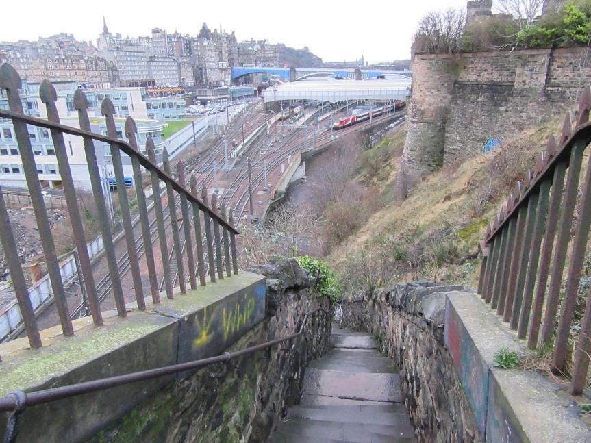
The other thing I found interesting was the setting – Princes Street and Regent Road are so solidly on one level that it’s easy to forget how suddenly the land drops away below the bridges, but the old stairway of Jacob’s ladder (first recorded on a map in 1759) dropping to Calton Road shows just how much of a hill this is.
Jacob’s Ladder
On the other side of the monument is the New Calton Burial Ground, created in 1817 to hold the bodies moved from the old Calton graveyard when Waterloo Place was built through it – this doesn’t fall quite so steeply to the Old Town, but steeply enough. This was another treasure hunt find for me – I knew it was somewhere near the old one, but had no idea where it was.
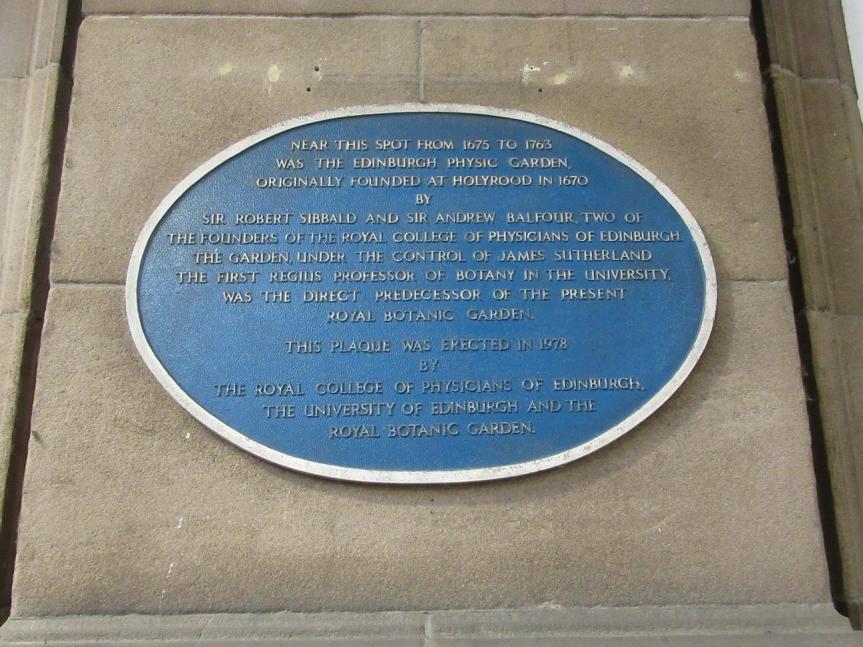
Towards the end of last year I went hunting down the parts of the Edinburgh Botanic Gardens which are older than the current garden itself, but this was a different kind of quest – looking for the ghosts of the older gardens.
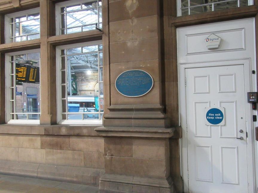
The first site of what was then the Physic Garden was in the grounds of Holyrood Abbey, but its first longstanding site was in the grounds of Trinity Church and Hospital, on land which is now Waverley Station – the plaque marking its location is attached to the side of the booking office building, more or less directly under North Bridge.
The booking office wall
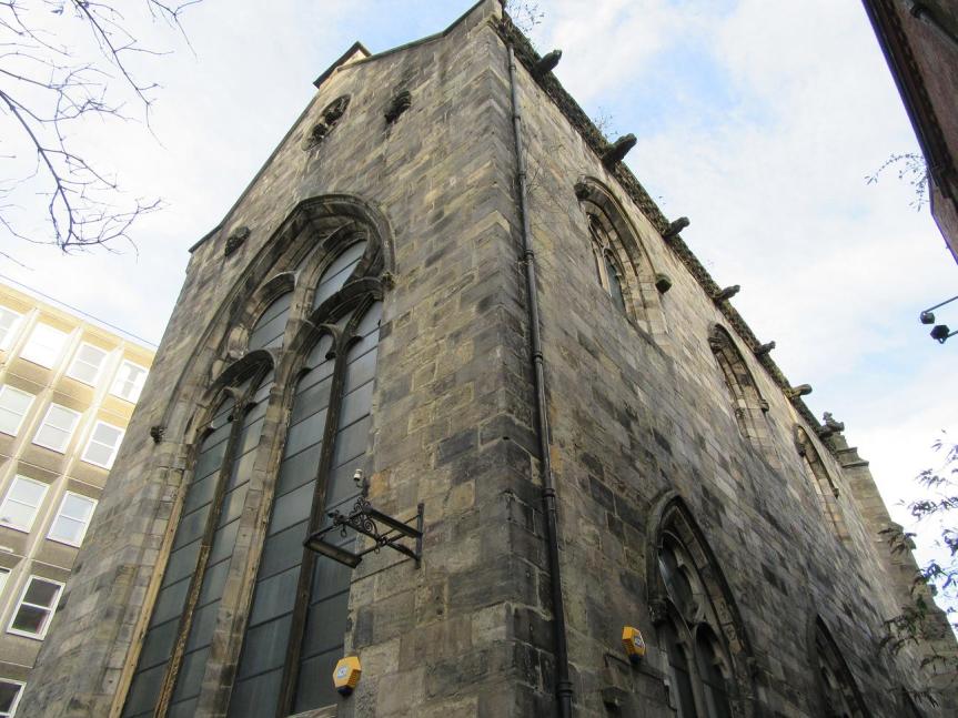
The gardens moved in 1763 to a site on Leith Walk, then still outside the growing city. Trinity College Church itself was demolished when Waverley Station was built, but I knew that a small part of it remained – I assumed somewhere along Calton Road, but I was wrong.
(The story of the church was started by the Stewarts and finished by the Victorians, so it doesn’t really belong here, but never mind. It’s too interesting to leave out.)
When the station was expanded in 1848, permission was given to demolish the church as long as it was rebuilt nearby, and it was carefully taken apart, and the stones labelled, so that it could be put back together again later. However, by the time that this was done, 30 years later, a large number of the stones had gone missing, and only part of the church could be recreated.
This wasn’t on the original site – which was somewhere near the current Calton Road – but as part of a new Trinity Church between the High Street and Jeffrey Street, on the other side of the station. And then the new church was demolished, and a modern hotel built on the site, but the old part was left behind it.
So tracking it down, squeezed in and invisible from both main roads, felt a bit like a treasure hunt!
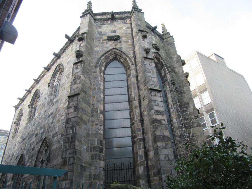
Trinity Apse
Although access to the building – which there isn’t much of these days anyway, because it’s only let out for events – is from Chalmer’s Close, the best view is from Trunk’s Close, slightly further down the hill.
From Trunk’s Close
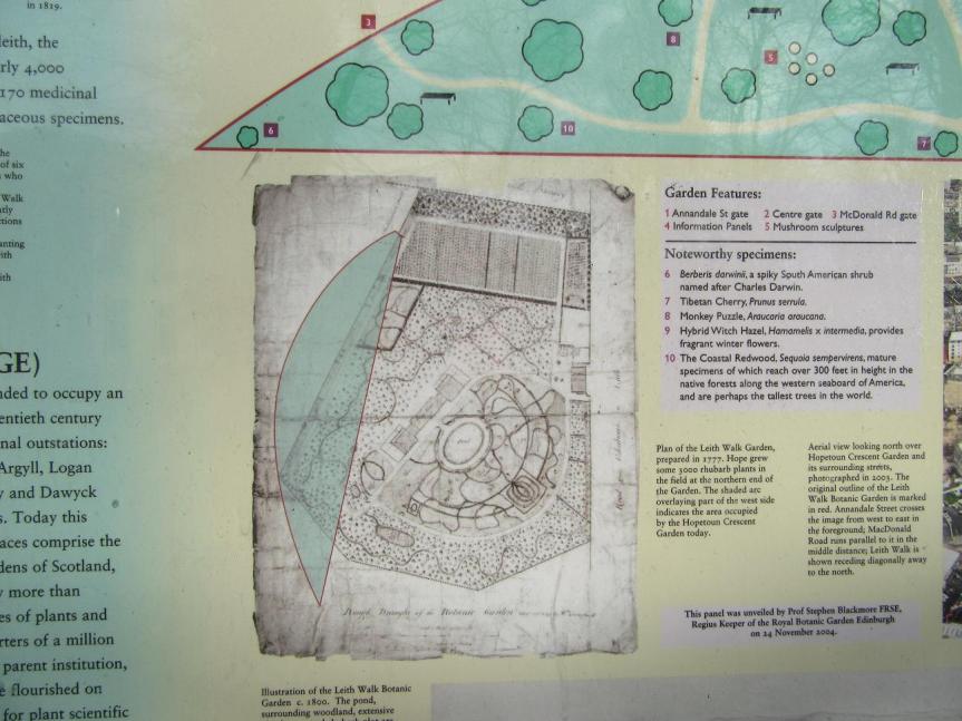
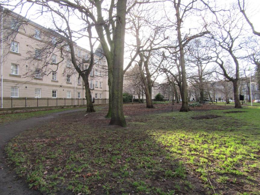
A small part of the Leith Walk site is still gardens, although it bears no relation to the layout of the original Botanic Gardens there. Looking down the length of the existing garden does give some idea of the size, though.
I was away at Wooler for a few days after Christmas, and coming down from the edge of the hills I passed through Roddam, birthplace and eventual home of Admiral Robert Roddam – on whose ship Lenox a young Cuthbert Collingwood served for a time as a midshipman. Although Collingwood is sometimes commented on as being unusual as a northerner in the navy, there were quite a few men from Northumberland around – and they did tend to stick together!
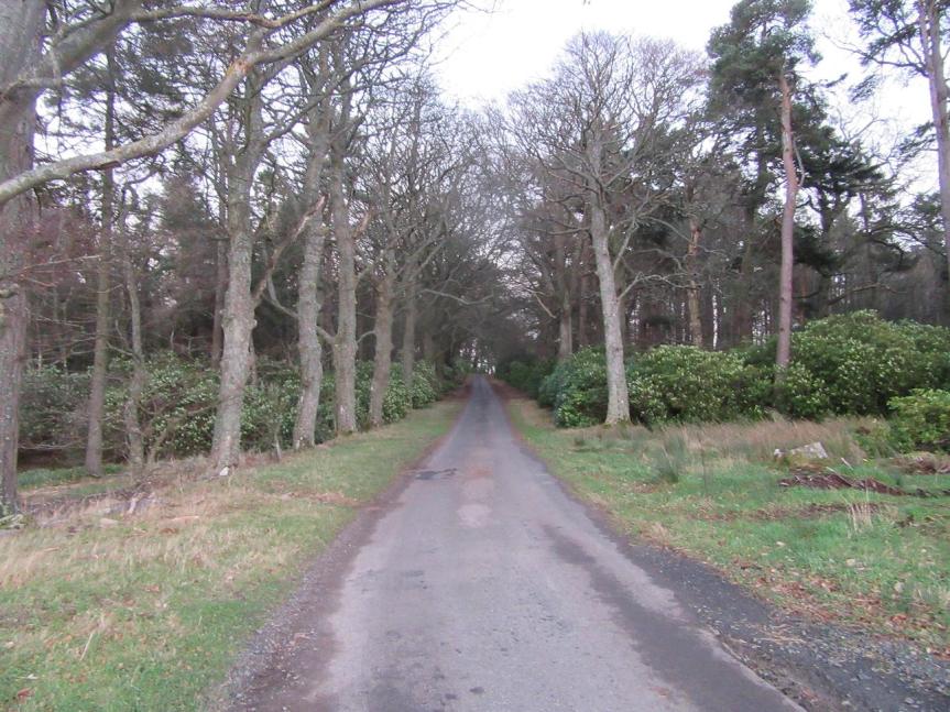
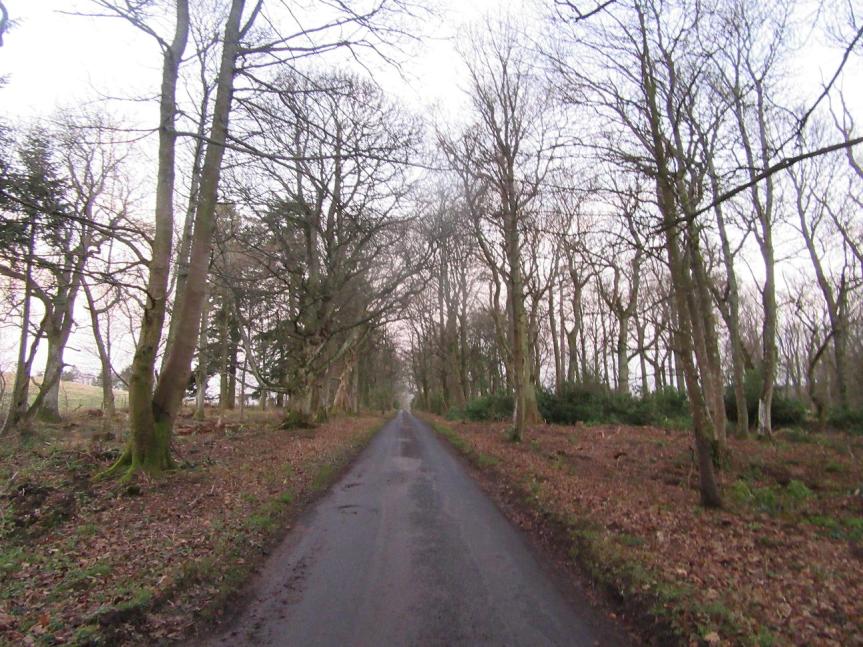
Coming down towards Roddam from Calders farm (also part of the Roddam estate), you pass through first Boat Wood and then Admiral Avenue, planted by the admiral – I do like the names.
Boat WoodAdmiral Avenue
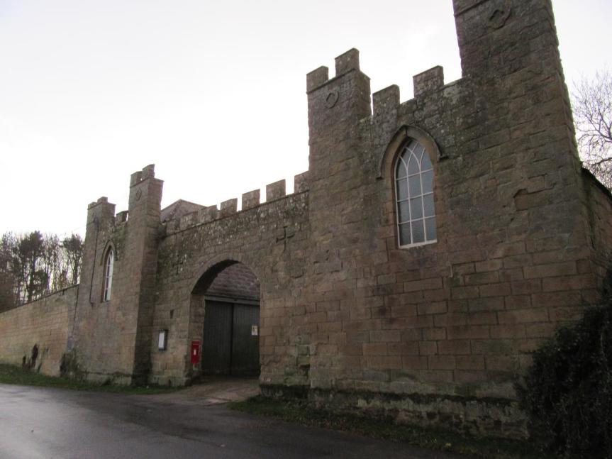
Roddam farm at the bottom of the avenue has a wonderful arched gateway – apparently once the entrance to the estate’s stable block.
Stableyard entrance
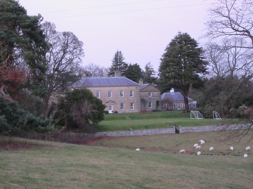
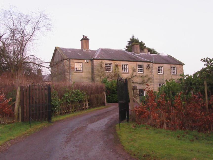
The original front of Roddam Hall faces out over the fields, with the side nearest the road being one of two wings built later – possibly by the admiral again.
Roddam Hall from the road
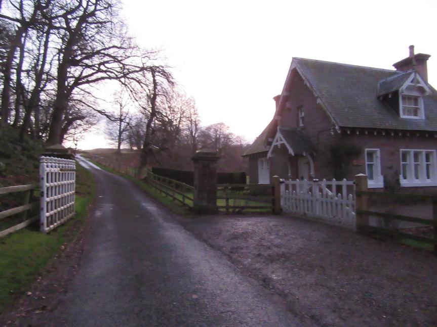
Further down towards the main road, the lodge still has an impressive gate to allow you to close the road, presumably dating from a time when it was more the road into the estate and less just one of many roads to the hills.